Using data to put wetlands to work
The UK needs bold plans to tackle the climate, nature and social crises. Wetlands present a powerful, cost-effective solution to all of these challenges.
Wetlands are carbon-sinking, water-purifying, flood-busting, nature-reviving, mood-lifting ecosystems. By realising these benefits, we can unlock their value – at least £8 billion in potential benefits.
Our 100,000 hectare challenge
Did you know that saltmarsh sinks carbon 40 times faster than temperate forests? Not only are wetlands fast-acting, but they are one of the most cost-effective nature-based solutions. For every £1 invested, freshwater wetlands deliver up to £9 of benefit in return.
That’s why we call them the master problem-solvers of the natural world. Yet, more than 75% of the UK’s inland wetland areas have been destroyed in the last 300 years.
We are calling for the creation of 100,000 hectares of new and restored wetlands in the UK by 2050 to make a real difference in achieving the government’s 25-Year Environment Plan.
The time to put large-scale wetland restoration on the agenda is now.
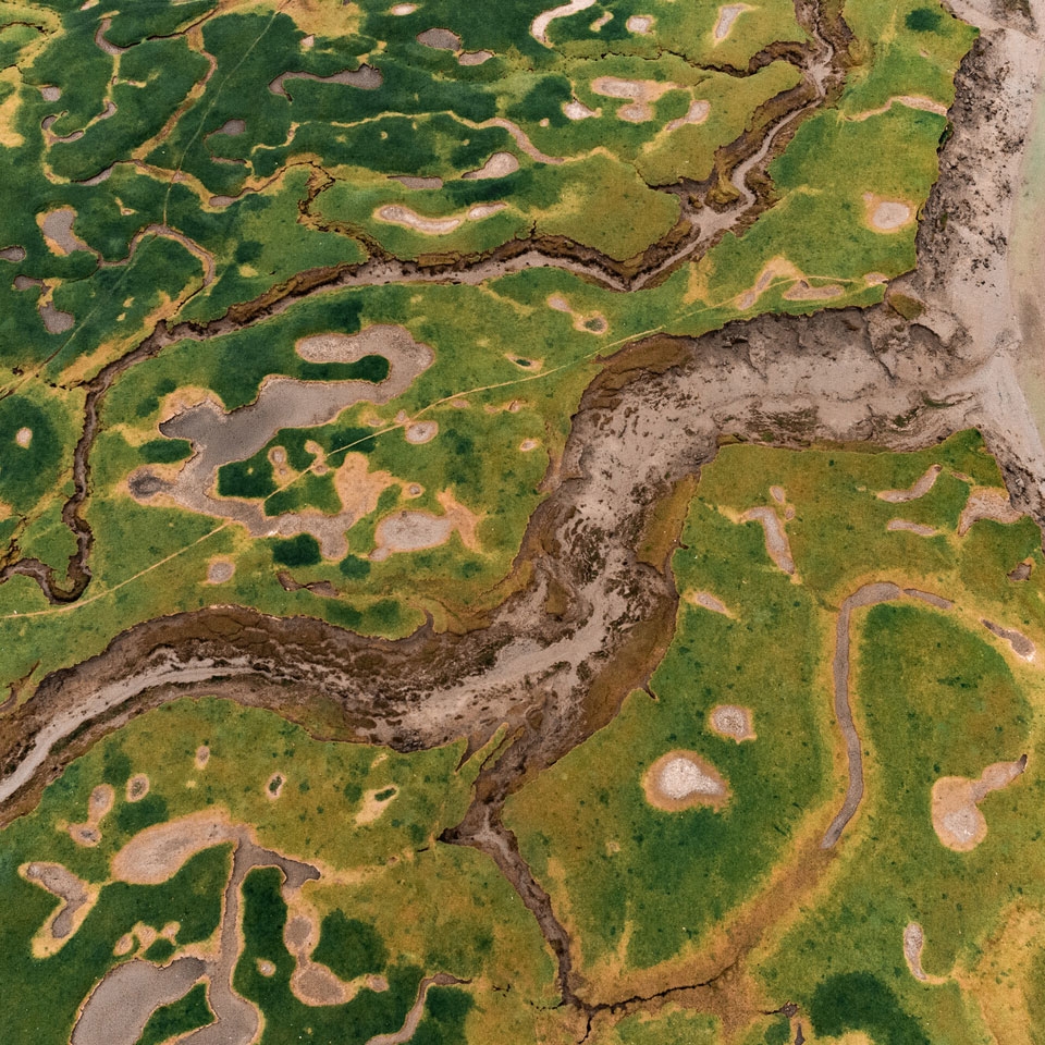
Mapping the UK’s wetland potential
WWT has used national data to create Wetland Potential Maps, highlighting extensive areas across the UK that would benefit from wetland creation or restoration. These maps combine a range of data sources, from flood risk and sewage dumping sites to areas of economic deprivation, to identify places where restored or newly created wetlands could have maximum impact.
They don’t replace the need for detailed site selection processes and local feasibility assessments – they're not based on detailed local data, so are not suitable for viewing at a local scale (for example, at individual farm or field level).
Alongside the maps, our economic analysis quantifies the potential economic and social value of large-scale, targeted wetland creation.
Putting wetlands on the map
Find out how we mapped wetland potential and calculated the value of large-scale targeted wetland restoration across the UK.
Read the in-depth story"WWT’s impressive datasets incorporated perfectly within the analysis we designed to pinpoint optimum locations for nature recovery across Essex. This significantly improved the quality of our results."
Daniel Mellor,
GIS Specialist, Ground Control
Economic benefits of wetland creation for...
Exploring wetland potential
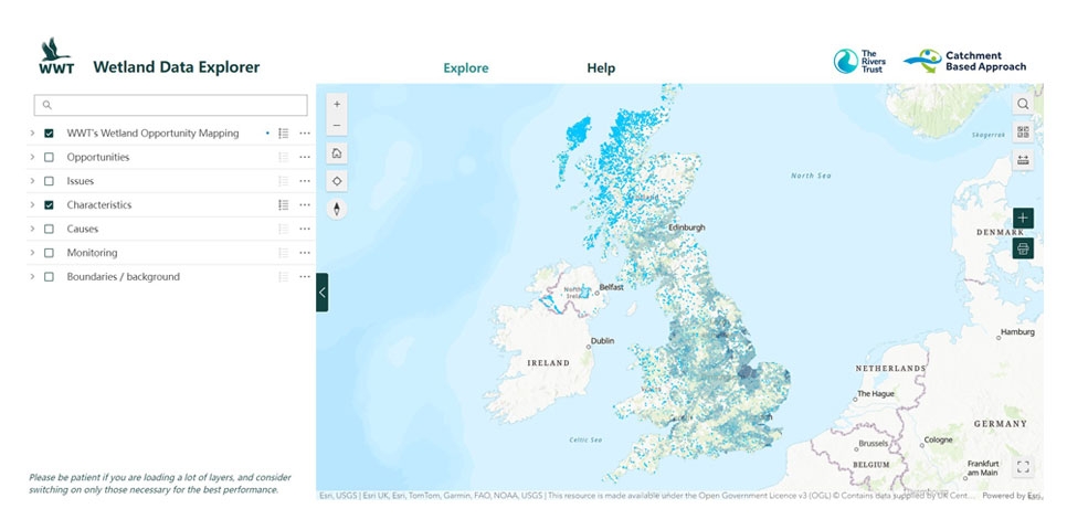
These maps have been created for users to explore the potential for wetlands to help reduce flooding, improve water quality, enhance urban wellbeing or store carbon.
The maps should be used for looking at the strategic potential for wetland solutions over a broad area – both nationally and regionally – and as part of initial scoping for potential areas of focus. They’re already being used to inform a number of local nature recovery strategies in England.
You can access our maps through the Wetland Data Explorer app, developed in collaboration with The Rivers Trust, which allows stakeholders to visualise wetland potential on a regional and national scale, dive into the wetland potential in a region of interest, and access a wide range of datasets to inform strategic wetland projects across the UK.
You can upload your own datasets (boundary data for example), making it even easier to explore the layers in the context of their own interest areas.
More detail on the development, uses, scope and limitations of the maps can be viewed in our technical report.
