


 34 / 56

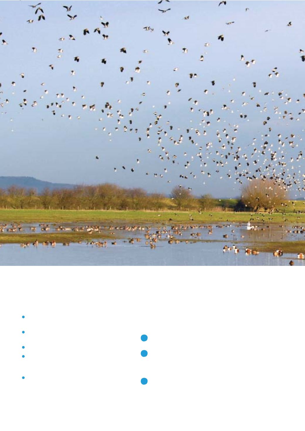
Open Data
Investing efficiently in nature needs lots of
information to map a range of habitat types
and natural assets. Some of the necessary data
is already available open source. Mapping can
draw on a number of established sources:
River basin, flood risk, shoreline, and
catchment flood management plans
Local plans (required by the NPPF
to map local ecological networks)
Environment Agency flood risk maps
Water Framework Directive monitoring
for status of waterbodies, drinking water,
and catchments
Air quality monitoring information
However, Defra could improve the process
of ecological opportunity mapping by making
valuable new sources of information available.
This data will help to create new commercial
opportunities for land managers, identifying
valuable investments in natural capital.
In particular, as part of the Open Defra
project, the Government should make
available several important data sets that
currently remain under licence.
The kinds of data needed for ecological
opportunity mapping that all ought to be
available include:
A
Climate change:
Environment Agency
climate change spatial datasets
B
Flood risk:
Defra, EA modelling of flood
risk for the Climate Change Risk Assessment
2012; Environment Agency’s fluvial Flood
Zone maps
C
Soils:
the National Soils Maps; hydrology
of Soil Types (HOST) dataset; National
Soils Resources Institute (NSRI)/National
Soil Map of England and Wales (NATMAP)
vector soil data